Middle‑earth Map
Limited to 500 prints, signed
$ 189
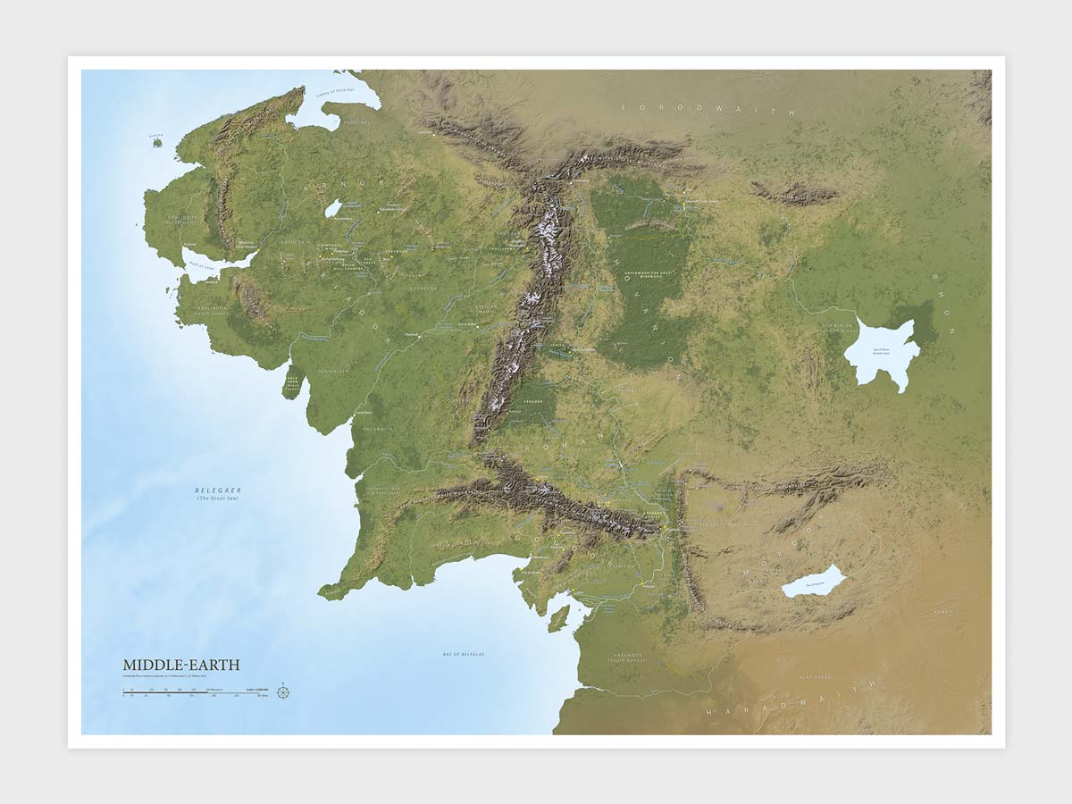
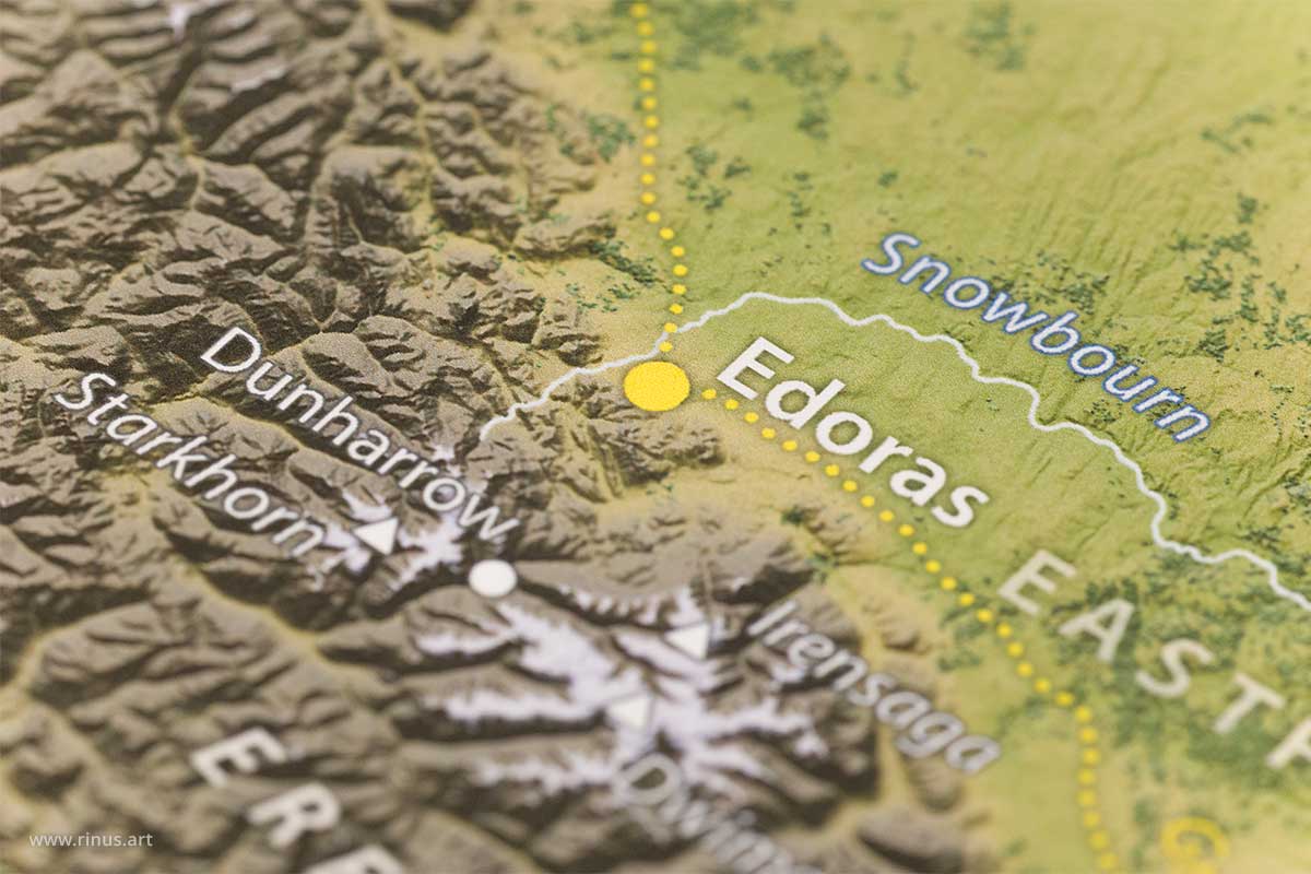
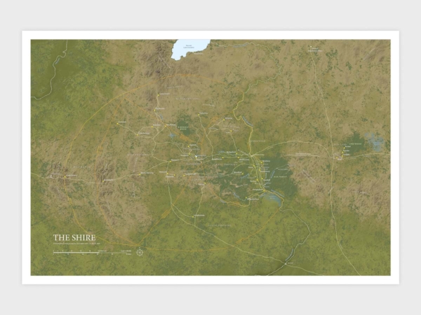
This topographic shaded‑relief map print of Middle‑earth is my faithful interpretation of the landscapes during the Third Age, so vividly described in The Lord of the Rings. It is based on the maps by J. R. R. Tolkien and C. J. R. Tolkien and drawn with the clarity and authority of National Geographic cartography.
This project has been a work of love, inspired by the works of J. R. R. Tolkien, and has been in the making for over a year. I started the map in 2014, but set it aside when it proved too difficult. Years later I returned and started over until it became what I wanted it to be: a high‑resolution, highly detailed map that feels “real.”
This Limited Edition is signed and produced with thicker archival paper that allows more detail, color, contrast, and greater longevity; the Regular Edition is printed on high‑quality matte poster paper as an accessible entry point into my collection.
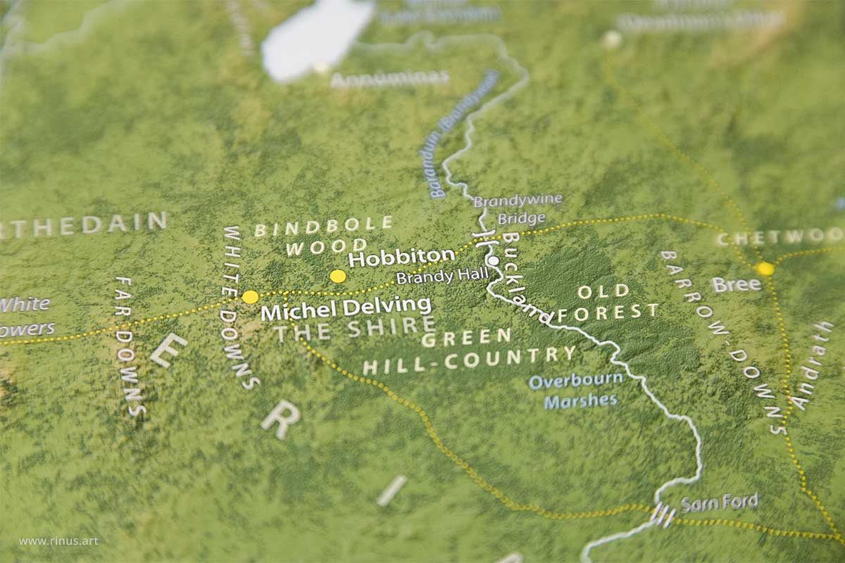
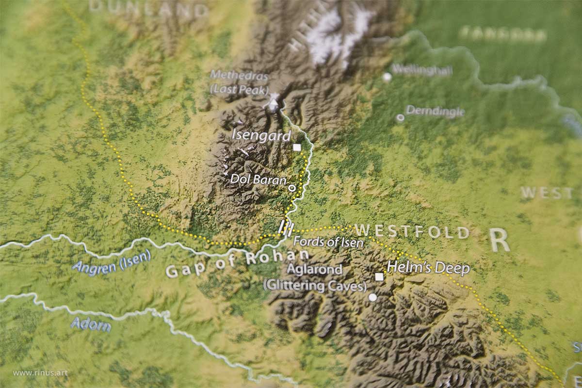
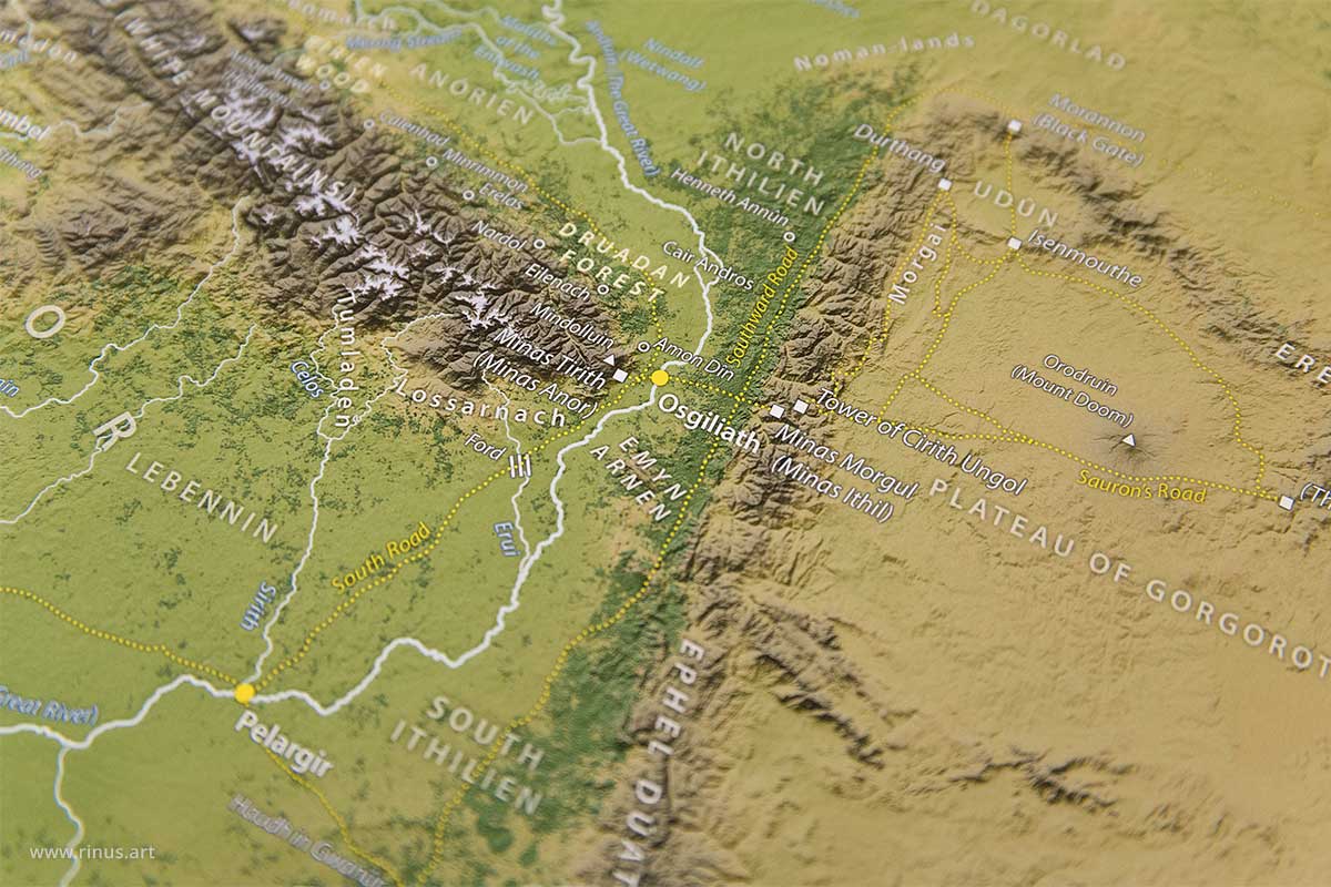
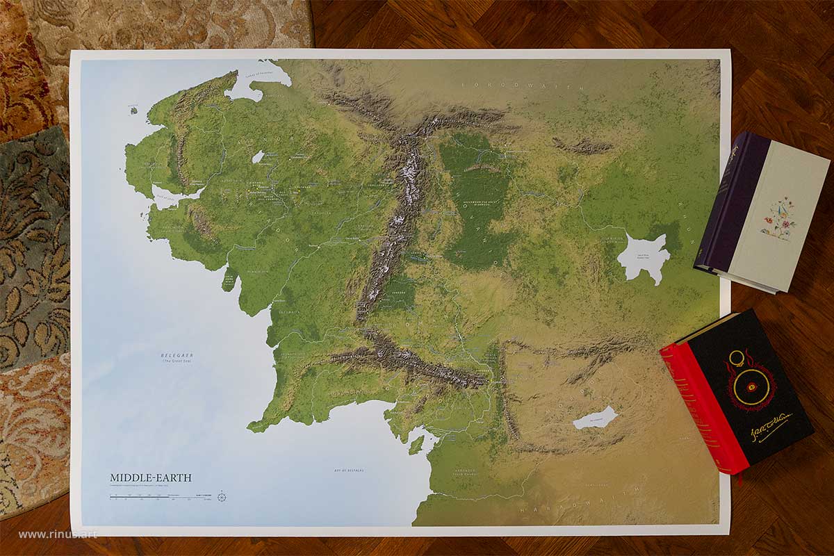
Except for the cover image, all images are photographs of the actual product; books are included for scale reference only.
Scale: 1:3,000,000
Edition: Limited to 500 prints, signed and numbered, with proof of authenticity
Paper: Canson Rag Photographique, 310 gsm, a thick matte archival paper of 100% cotton
Inks: Epson Ultrachrome Pro12 pigment inks
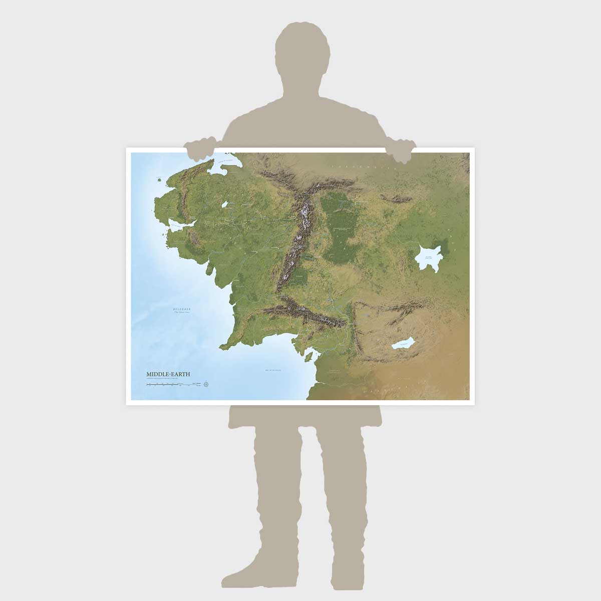
Paper size: 44 × 32.6 in (111.8 × 82.8 cm)
Image area: 42 × 31.1 in (108 × 79 cm)
Save 10% when buying all three maps:
“I cannot praise the Rinus maps highly enough! In a sense of lore, scale and geographical beauty, the maps of Middle-earth, Beleriand, the Shire and more are incredible! The Beleriand map in particular is one of the highest quality Beleriand maps to exist. As the lore YouTuber of the channel Men of the West, I really recommend these maps!”
Related prints

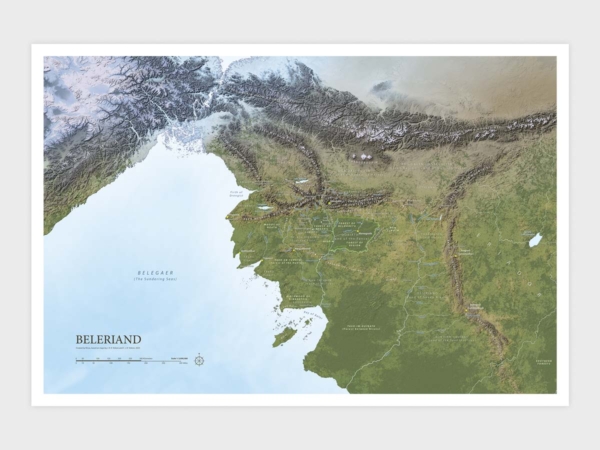
Beleriand Map (Limited Edition)
Limited to 500 prints, signed

The Shire Map (Limited Edition)
Limited to 250 prints, signed
